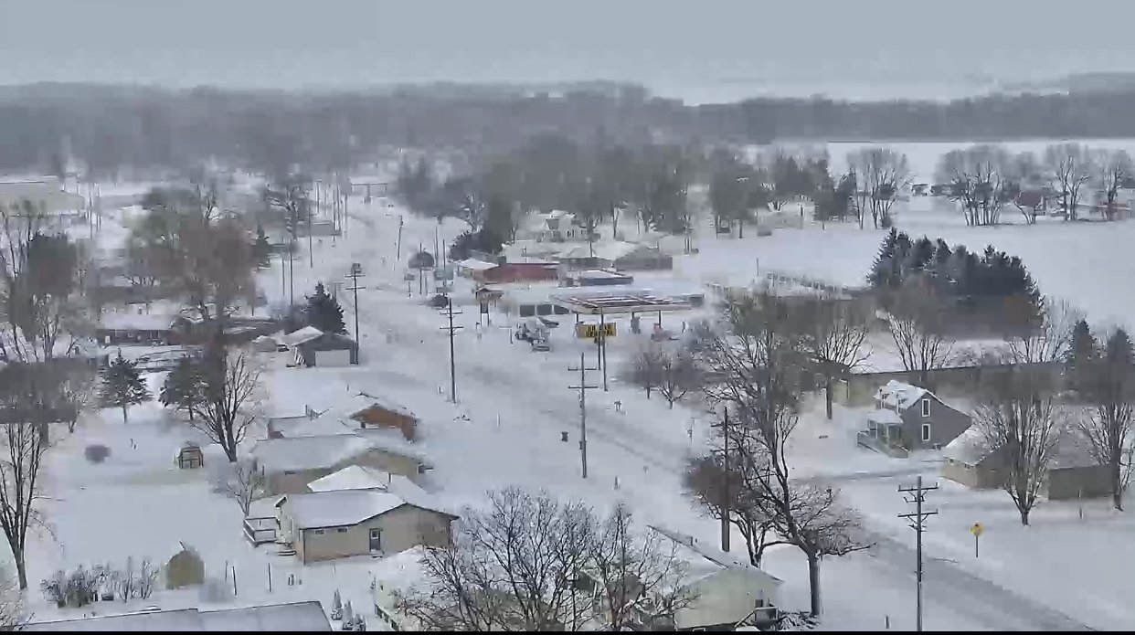
- Snow and strong northwest winds will diminish from west to east this morning. However, winds will remain high enough to continue blowing and drifting newly fallen snow through the afternoon hours, especially in open and rural areas.
- Colder through Tuesday, with another round of accumulating snow Tuesday night/Wednesday morning.
Visit http://gettingaroundillinois.com/WinterConditions for road conditions and http://ready.gov/winterfor tips on staying safe during for winter weather.
Please monitor road conditions at http://gettingaroundillinois.com/WinterConditions before travel and http://ready.gov/winterfor tips on staying safe. Additional information may be found at weather.gov/quadcities.
NWS Sunday night report:
- Blizzard conditions are expected to overspread the area from the northeast to the southeast from late this afternoon into the evening.
- Treacherous travel conditions are expected within blizzard conditions with winds gusting to 60 mph.
- Snowfall totals have increased with the latest forecast.